Walk & Ride | Active Transport
On this page:
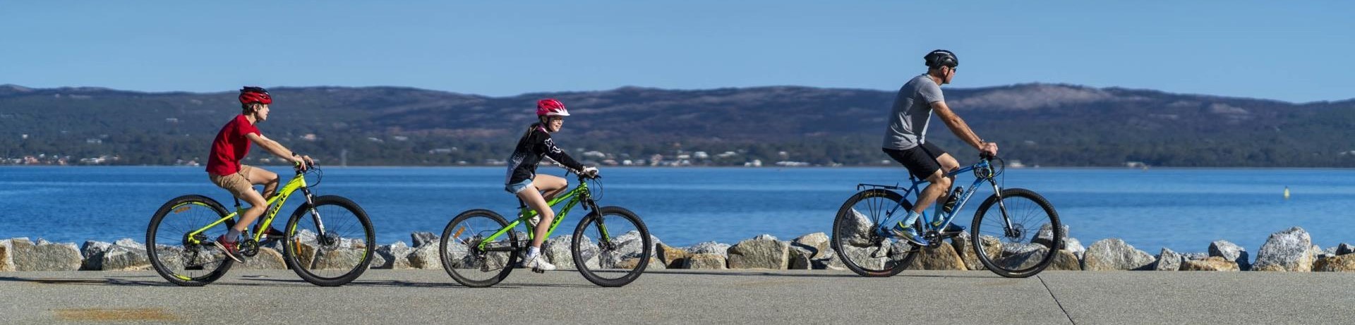
City of Albany Bike Plan 2025-2030
The City of Albany Bike Plan 2025-2030 provides a framework to guide the development of bike riding infrastructure and programs over the next five years. Building on the previous Cycle City Albany Strategy 2014-2019, this updated plan responds to community feedback, evolving transport needs, and best practice design principles to support safe and accessible bike riding for all ages and abilities.
The Plan has a vision for a community where riding a bike for transport or enjoyment is safe and accessible for all ages and abilities. The actions in the Plan are structured around four focus areas:
- Infrastructure: delivering safe, connected and inclusive bike routes, facilities and crossing points.
- Activation, Consultation and Engagement: building community awareness, skills and motivation to ride.
- Policy and Planning: embedding cycling into City processes and land use planning/
- Advocacy: influencing external stakeholders and unlocking funding and collaboration opportunities.
The Plan was adopted by Council in August 2025.
Safety and respect for all road and path users
The City of Albany strongly encourages a culture of mutual respect between all road users, to help keep our community safe.
DID YOU KNOW?
- Bike riders of all ages may ride on footpaths (unless otherwise signed).
- Bike riders are permitted to ride across pedestrian crossings.
- Bike riders can ride on roads, including two abreast with up to 1.5m between riders.
- When the speed limit is 60km/hr or under, drivers must leave a gap of at least 1m when passing a bicycle rider. When the speed limit is over 60km/hr, the gap must be at least 1.5m. Drivers are permitted to cross centre line markings, including single and double continuous white lines and painted islands, to give the correct amount of space to the cyclist, but only when it is safe to do so, and when the driver has a clear view of oncoming traffic. If it is not possible to safely overtake, slow down and wait until it is safe to overtake.
- Drivers must give way to bike riders at driveways.
The Road Safety Commission provides more details on safe cycling, sharing roads and paths, and related offences and penalties.
Report a hazard
Report It is a simple way to report hazards or faults on the cycling and walking network. You can specify the exact location and include photographs.
10 Great Walks and Rides
Our 10 Great Walks and Rides maps are an excellent starting point for some of Albany's most spectacular walks and rides for all ages.

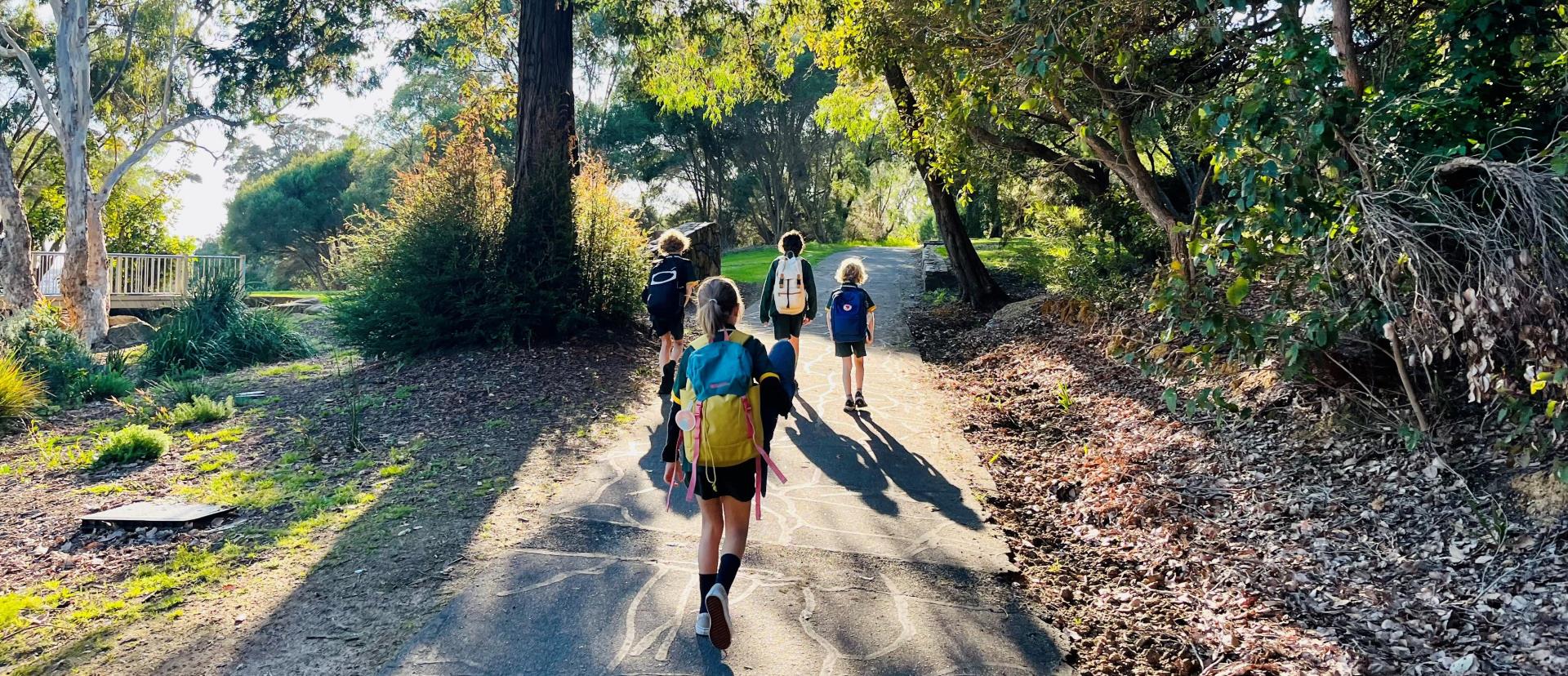
Active Transport to School
The City works closely with local schools to encourage students to walk, cycle or catch the bus to school. We also work with partner agencies including Westcycle and the Department of Transport's Your Move program.
Safe and Active Travel to School Guide
Road safety and active transport are two crucially important and strongly linked issues for school communities. The City of Albany has developed a Safe and Active Travel to School Guide, which is designed as a starting point for local schools to address these issues. Download your copy of the guide here, and get in touch if you would like any assistance to get started at your school.
Contact information
Email: [email protected]