Local Planning Scheme No.2
Notice is hereby given that the Minister has granted final approval to the City of Albany Local Planning Scheme No.2 (LPS2).
The LPS2 replaces the Local Planning Scheme No.1.
The LPS2 was published in the government Gazette on the 27/02/2024.
Planning applications are now assessed in accordance with the LPS2.
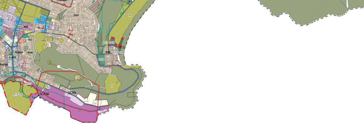
The LPS2 introduces new zone, reserve and land-use classifications, to align with the Planning and Development (Local Planning Schemes) Regulations 2015.
The LPS2 has modified the permissibility for some land-use classifications, for different zones and reserves.
New provisions and special control areas have been introduced consistent with state planning policy and land characteristics (e.g. areas subject to coastal processes).
To learn more about LPS2 and how it may affect your property or future development in your local area, see the below links to scheme text and maps.
Additionally, you can contact City officers at [email protected]
Scheme zone and reserve classifications
Use the City's online mapping tool to view LPS2 zone and reserve classifications
Online mapping tool Instructions for mapping *Click here for instructions on how to use the mapping tool